Pittsfield Historical Society’sHistorical Maps PageThis page is dedicated to our collection of scans of Historical Maps.
|
An excellent map of Somerset County in 1860 can be found at 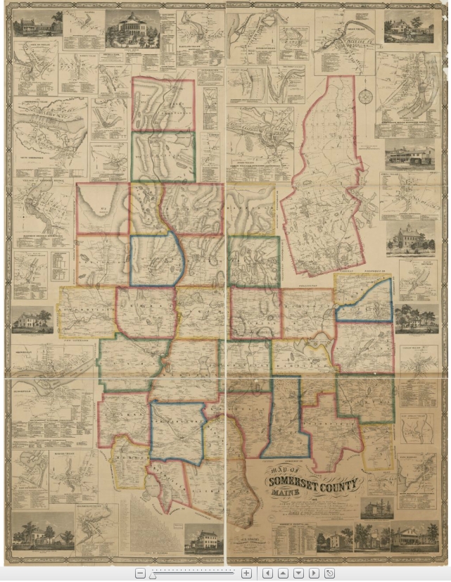 www.mainegenealogy.net/graphics/Somerset_County_1860.html. Although it is a map of the entire county, it is zoomable down to the level of who lived on which roads. www.mainegenealogy.net/graphics/Somerset_County_1860.html. Although it is a map of the entire county, it is zoomable down to the level of who lived on which roads. |
|
|
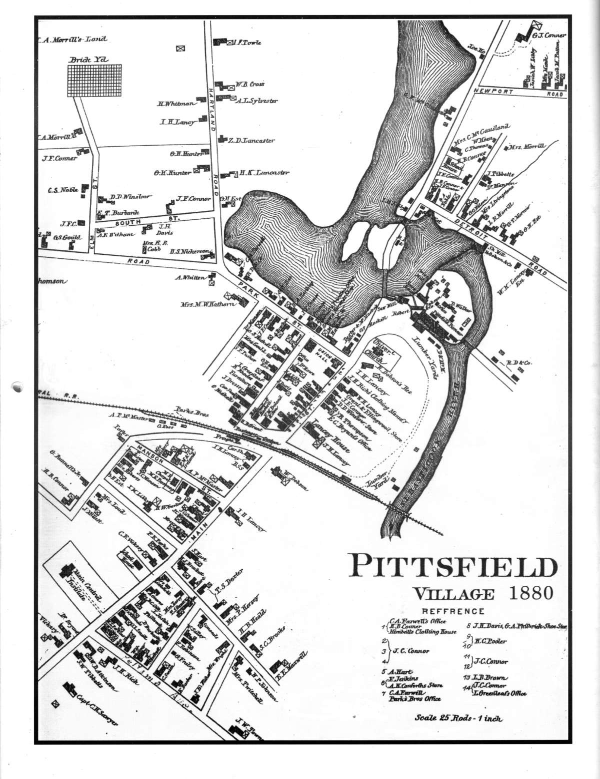
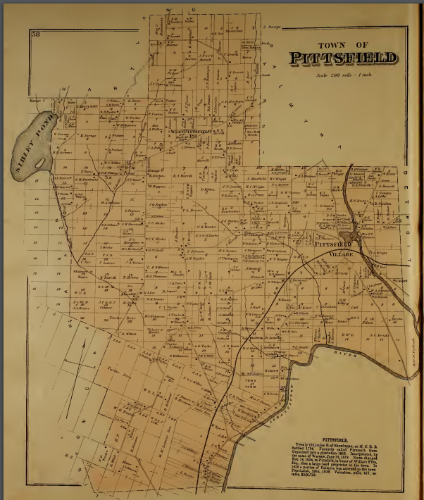 click to enlarge Colby’s 1883 Atlas of Somerset County. This 1883 atlas contains maps of all Somerset County towns and plantations with details down to who owned what properties. Pittsfield is shown on pages 64 & 65. The map above of Pittsfield in 1880 is on page 65. [Map in Atlas is of much higher resolution that the image at right: PDF 6.5 mb] |
|
|
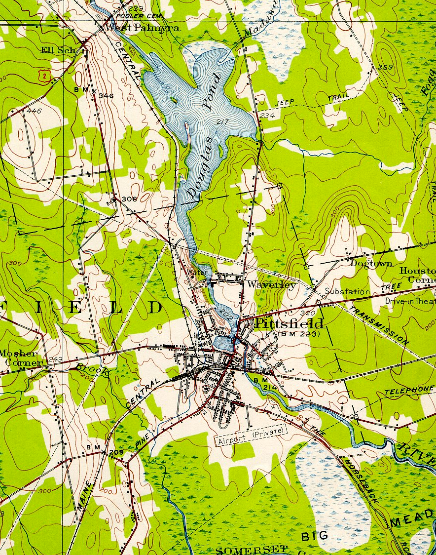
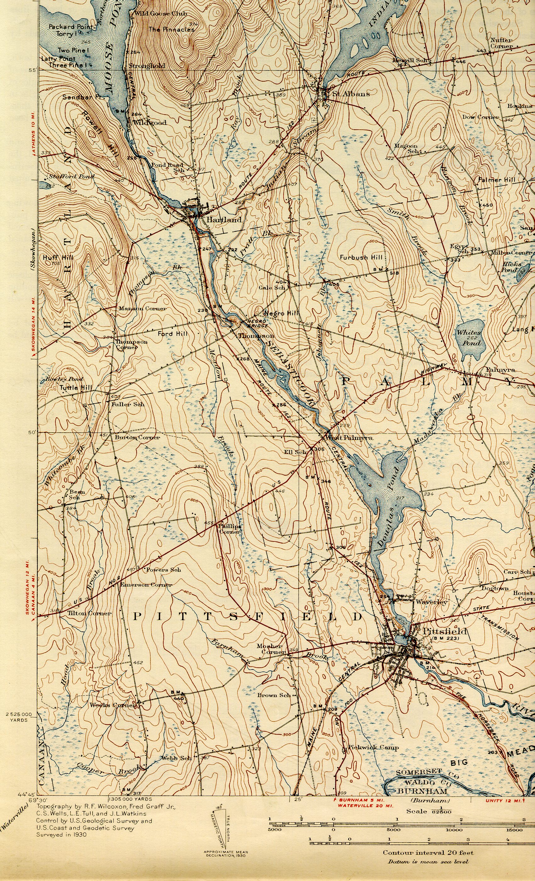 1933 USGS topo maps of Pittsfield, southwest section. 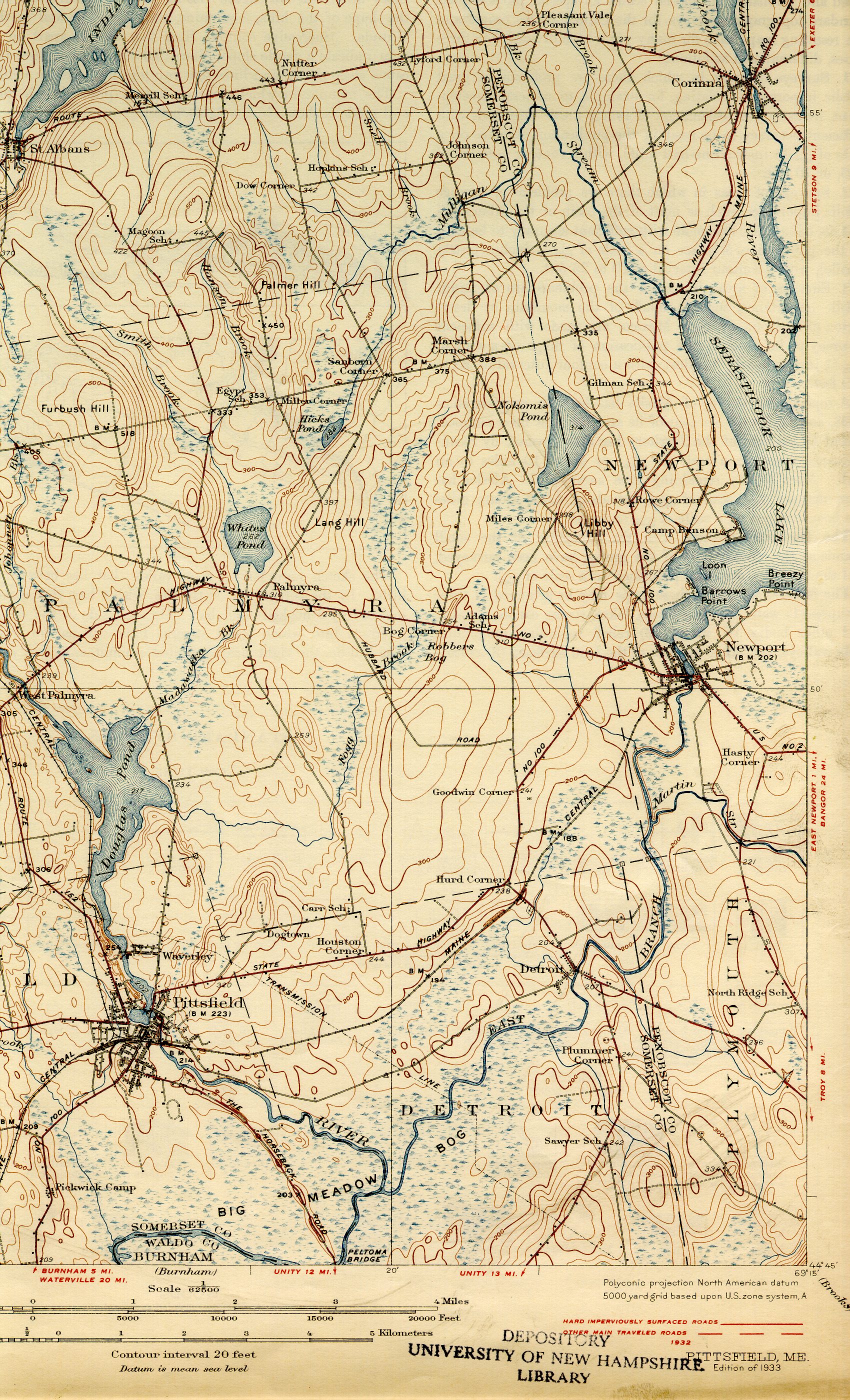 1933 USGS topo maps of Pittsfield, southeast section. |
|
|
|
|
|
|