Pittsfield Historical Society’s
History of Pittsfield
Wide Views Photo Page
This page is dedicated to our collection of wide views of Pittsfield.
Hover over photos for captions to appear.

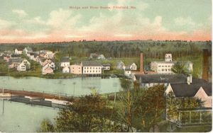
- Postcard scene of view as seen from atop a Park Sp. building. Shoddy Mill is on right (yellow with tower).
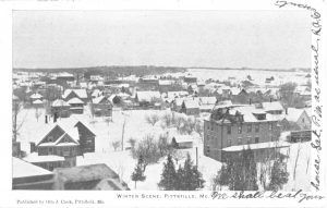
- Pittsfield winter scene from 1907 postcard.
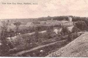
- A wide angle postcard photo of the view from the end of Easy Street, circa 1900, showing the Bryant & Company mill.
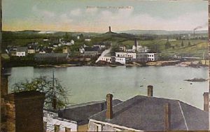
- Another colorized postcard view dated 1913, from the same series. Note Pinnacle water tower on horizon. Buildings in right foreground were on the north side of Park Street, with Mill Pond behind thenm. Photo taken from the roof of Union Hall. From a postcard published for Libby’s Pharmacy.
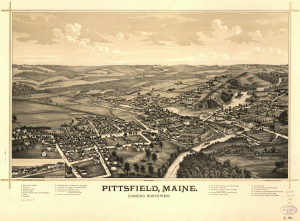
- Bird’s eye view of Pittsfield, 1889. Available from the Library of Congress at https://www.loc.gov/resource/g3734p.pm002480/?r=-0.004,0.056,1.041,0.586,0
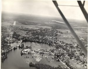
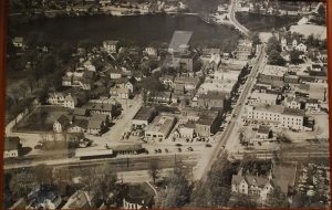
- A high resolution large photo of Pittsfield taken from a low flying airplane circa 1944. Mill Pond is in the lower left, the airport in the upper left. Middle right is the junction of the Maine Central and Sebasticook & Moosehead Railroads.
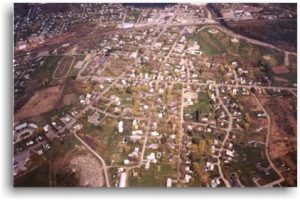
- A color photo of Pittsfield from the air. From the Town of Pittsfield’s website.
- An aerial photo of Pittsfield from the south.
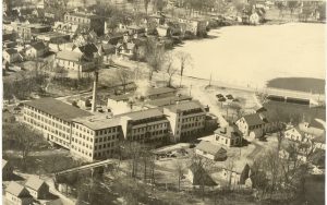
- An wide view of the Pioneer Mill and downtown area, photo from a low flying airplane circa 1950.
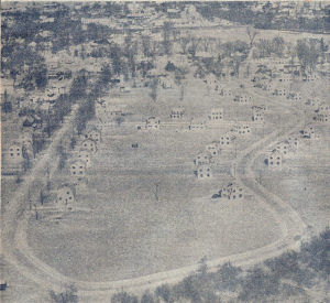
- 1950 newspaper photo of the new Peltoma Acres.
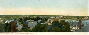
- Looking Northwest.
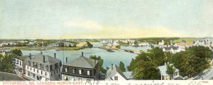
- Looking Northeast, from postcard dated 1913.
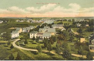
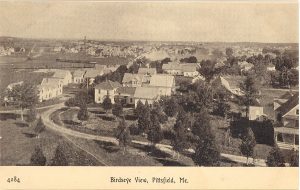
- Early “bird’s eye view” of Pittsfield, post card colorized photo, circa 1910. Pleasant Street is in foreground.
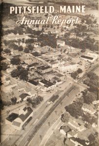
- Aerial view of Town circa 1950.
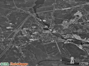
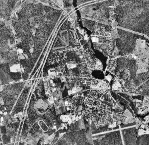
- 1995 satellite photo of Pittsfield.
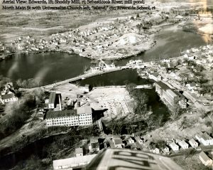
- Aerial view: Edwards on left; Shoddy Mill on right; Sebasticook River and Mill Pond, North Main St. with Universalist Church at left, “island” in center, Riverside School on right.
- 1948 aerial view of the town, view from the south.


